About the Ahmedabad City Bird Atlas
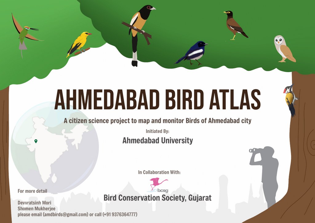
The Ahmedabad City Bird Atlas (ACBA) project is a long-term, not-for-profit, volunteer-driven initiative to study the birds of Ahmedabad city. The project is being initiated and executed by the Community Ecology lab at Ahmedabad University this year in collaboration with the Bird Conservation Society, Gujarat (BCSG).
The proposed dates of the atlas are 1 December 2024 and to 30th November 2025.
This project is technically supported by Bird Count India and powered by eBird.
This project aims to map bird distribution and diversity in the city, information that will help with their long-term monitoring and conservation.
The first of its kind in Gujarat state, the Ahmedabad City Bird Atlas aims to understand the distribution and abundance of birds in Ahmedabad through a yearlong, volunteer-based, systematic survey.
Vision:
To support the planning of bird conservation and management in Ahmedabad’s urban landscapes by obtaining a wide range of data, including the spatial distribution of species, population, behaviours, and migration patterns of the birds.
Survey Design
Ahmedabad city is divided into 61 grids measuring 3.3×3.3 km to facilitate bird surveys. Each grid is subdivided into nine sub-cells, each covering an area of 1.1 km × 1.1 km. To sample at least 33% of the city area, three sub-cells from each grid will be randomly selected for the survey.
In the selected 183 sub-cells, four complete bird checklists will be generated at 15-minute intervals. eBird – the global bird citizen science platform, will build up this Ahmedabad City Bird Atlas database.
Survey Protocol
- Sampling should be done in 3 randomly selected sub-cells in every grid.
- Each team should have a minimum of two birders and a maximum of five birders, and the coordinators should select at least one expert birder.
- Each sub-cell shall have two 15-minute lists of all species counted/estimated and uploaded in eBird.
- Don’t replicate some routes into different checklists.
- The distance of the checklist should be a minimum of 250 m and a maximum of 900 m.
- In each checklist, the Sub-cell number, List No, Team No, Name of observers, Locality/area name, Habitat, and other details should be mentioned.
- After completing the checklist, share it with co-birders and Group eBird ID- amdbirdatlas
- Teams should attempt to cover the maximum area and all habitat types inside a sub-cell.
- Survey Times:
- Winter: Generally expected between 07:00–09:00 AM, exceptionally until 10:00 AM.
- Summer: Generally expected between 06:00–08:00 AM, exceptionally until 09:00 AM.
- Sub-cells must be resampled if the lists are not representative due to unforeseen conditions like rain, disturbances, weather, etc. The coordinator and the lead birder decide them together.
Interested in Joining the Project?
Please register using the link below, and we will contact you:
https://forms.gle/BF4qiUbR9hrZTmGC6
For more information, you can write to [email protected]
Contact: Mr. Devvratsinh Mori (9376364777), Dr Shomen Mukherjee ([email protected]),
Address:
Ecology, Evolution and Climate Change Research Cluster,
School of Arts and Sciences,
Ahmedabad University,
Commerce Six Roads, Naranpark Society,
Navrangpura, Ahmedabad, Gujarat 380009


Kartik m Vyas
This initiative is an important step forward for urban bird conservation. Fortunately, we have such an impactful project in Gujarat, contributing to the long-term monitoring and conservation of bird diversity in our urban landscapes.
I have been using citizen science-based platforms like iNaturalist and ebird India from last few years and was wondering why we are not having any specific citizen science-based projects for the city till date, and with the starting of ACBA, I am so happy that we have put our first step forward towards an important aspect of Nature conservation. This is just the beginning. All the best.